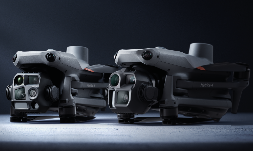
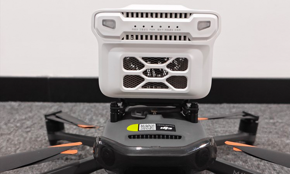
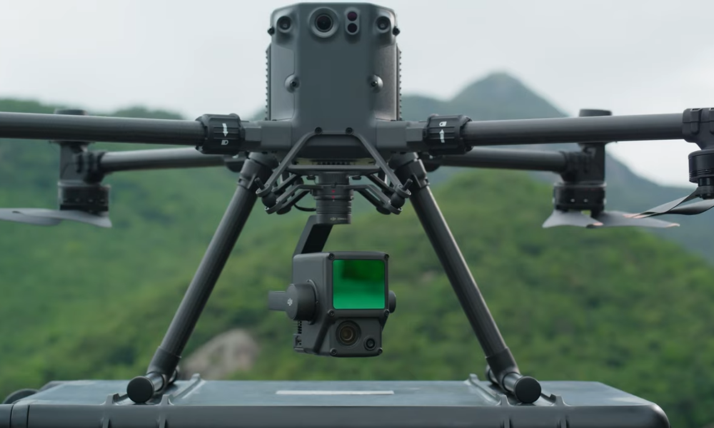
The DJI Matrice 4 Enterprise is a powerful industrial drone designed for surveying, inspections, and public safety. Available in two models, the Matrice 4E features a high-resolution Micro Four Thirds camera for precise mapping, while the Matrice 4T includes thermal and zoom cameras for versatile operations. With RTK precision, AI-powered automation, obstacle avoidance, and modular accessories like loudspeakers and spotlights, it delivers unmatched efficiency and reliability in any environment.
RS10 Handheld SLAM 3D Laser Scanner
The CHC RS10 is a high-precision GNSS receiver designed for land surveying, construction, and geospatial applications. It features multi-constellation tracking (GPS, GLONASS, Galileo, and BeiDou) for improved accuracy and reliability. The RS10 supports RTK (Real-Time Kinematic) positioning, ensuring centimeter-level precision. It is built with a rugged, weather-resistant design, making it suitable for harsh field conditions.
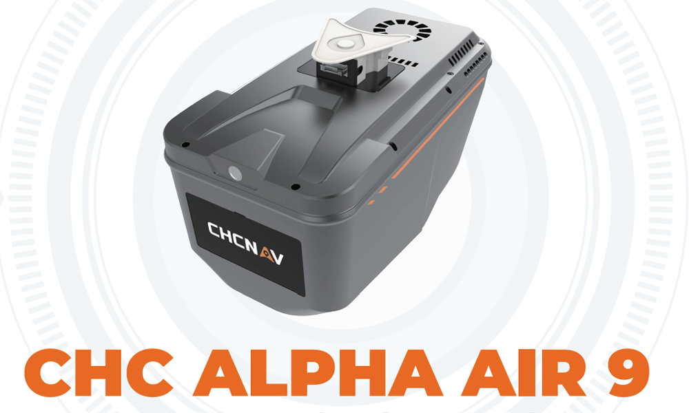
CHC ALPHA AIR 9 lidar system
The CHC Alpha Air 9 is a lightweight, high-precision LiDAR system designed for aerial mapping and surveying. It features a high-performance laser scanner with a long-range capability, making it ideal for terrain modeling, forestry, powerline inspection, and infrastructure mapping. The system supports multi-echo and high-density point cloud generation, ensuring detailed and accurate 3D data.
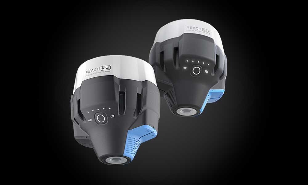
EMLID Reach RS3
The Emlid Reach RS3 is a multi-band RTK GNSS receiver designed for high-precision surveying, mapping, and geospatial applications. It features tilt compensation, allowing accurate measurements without leveling the pole, and supports GPS, GLONASS, Galileo, and BeiDou satellite systems for reliable positioning. The RS3 offers real-time corrections via RTK and PPK, ensuring centimeter-level accuracy.
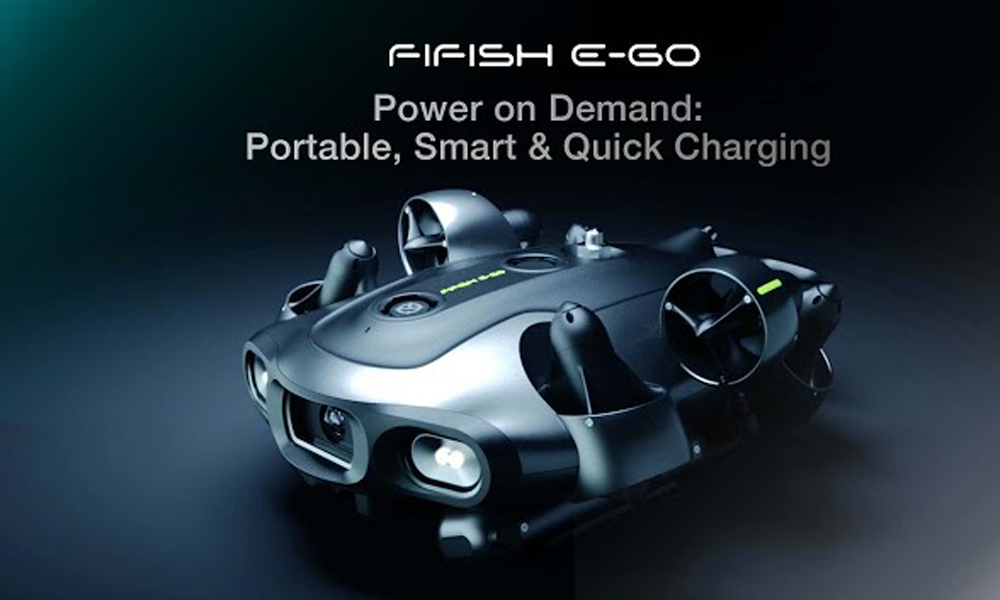
QYSEA ROV
The QYSEA FIFISH ROV is a compact and powerful underwater drone designed for professional and recreational exploration, inspection, and research. It features high-resolution 4K UHD cameras, LED lighting, and advanced maneuverability with omnidirectional movement for precise underwater navigation. Equipped with AI-based functions, VR head tracking, and a robotic arm (optional), it is ideal for underwater inspections, marine research, and search-and-rescue operations.
SNIFFER 4D MINI2
The Sniffer4D Mini2 is a compact and lightweight air quality monitoring sensor designed for drones and mobile platforms. It can detect and measure multiple gases and particulates in real time, such as CO, NO₂, SO₂, PM2.5, and more, making it ideal for environmental monitoring, industrial inspections, and emergency response. With high sensitivity and fast data transmission, the Mini2 provides accurate spatial air pollution data, and it can be integrated with mapping software for detailed analysis.
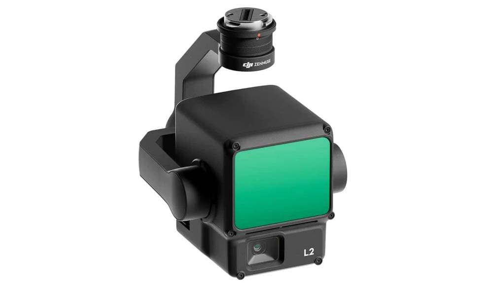
Elevate your aerial surveying capabilities with the DJI Zenmuse L2 LiDAR payload for the DJI Matrice 300 series. Boasting high precision, exceptional efficiency, and superior penetration, it offers a detection range of 250-450 meters and five returns, all in a user-friendly turnkey solution, complete with Point Cloud LiveView and seamless one-click processing on DJI Terra.
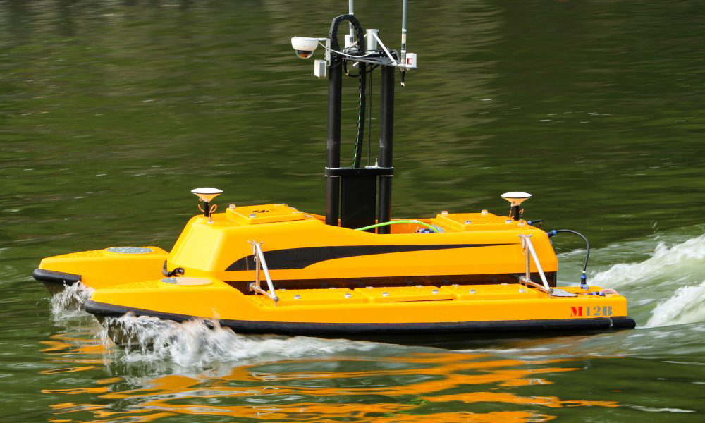
ME120 USV
The ME120 is a compact and versatile Unmanned Surface Vehicle (USV) designed for hydrographic survey and water environment monitoring. It is equipped to carry various sensors like single beam or multibeam echo sounders, ADCPs, and water quality probes, making it ideal for bathymetric surveys, current profiling, and water data collection. With its catamaran design, the ME120 offers excellent stability and maneuverability, even in narrow or shallow waters.
matrice 350 rtk
The DJI Matrice 350 RTK is a high-performance industrial drone designed for mapping, surveying, inspection, and public safety applications. It features RTK positioning for centimeter-level accuracy, an extended 55-minute flight time, and multi-payload support, including cameras, LiDAR, and thermal sensors. The drone boasts an IP55 weather-resistant rating, making it reliable in harsh environments.